Free Mapping Software
Mapping software organizes your daily life. Whether for work or just a vacation, it is always better to visualize your destinations, in order to help organize your day. There are tons of apps out there that can map important points, for any purpose you can imagine, including route planning. Here are some key players that offer free or free with trial mapping solutions:
Pitney Bowes
Using statistical analysis, Pitney Bowes helps make strategic business decisions by location. One aspect of Pitney Bowes, is they use customer data and demographics to come up with geographic analysis of where to put a new retail store location. They also deal with communication of customers, shipping, and global ecommerce.

MapPoint
Microsoft shut this product down last year, but its still worth mentioning, because it was a common mapping analysis tool for sales teams. MapPoint mapped individual routes for sales reps and then optimized these routes. Although it was limited in functionality, it got the job done, making it popular and relatively easy to use.
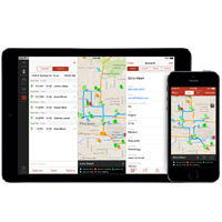
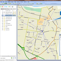
Badger Maps
Badger Maps is sales mapping software, which serves as a good replacement for MapPoint. Badger Maps plots all of a sales rep’s customers and allows the rep to make routes and optimize them, also having a feature for managerial supervision. Sales reps can also organize their customers by color in any way imaginable and also use the app to help find new leads. It is compatible with desktop, smartphone, and tablet, so reps can use it on the road.
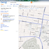
Bing Maps
Bing search engine provides a mapping service, which allows users to input several locations to generate a route. It offers 3D, bird’s eye and rooftop views to present data. This is a great for those who are trying to plan a road trip or family vacation.

Google Maps
Google Maps is widely known, as a main feature is a directions generator. It works from the computer and smartphones, while factoring in current traffic conditions. Users can also add in multiple locations and make a route. Like Bing Maps, this is great for those who are trying to plan a road trip or family vacation.
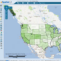
eSpatial
eSpatial is an online mapping software that takes business data from Excel spreadsheets and transforms it into an informative visualization. This is a very multi-purpose application, as it can map anything from Customers, to Employees, leads, stores, or volunteers, and anything else. This service costs $1,200 to $5,000 a year.
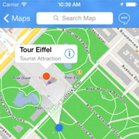
City Maps 2Go
City Maps 2Go is a smartphone application designed for tourists. The user can download map of any city. On this mobile map users can search the name of a location and mark it with different any color pinpoint. It also tracks user position and can search for nearby restaurants, tourists attractions, hotels, and much more.